Nuit dans la voiture, matelas qui crève alors que j’ai mis deux couvertures dessous et que je lui en fait voir lors de mes voyages à vélo …
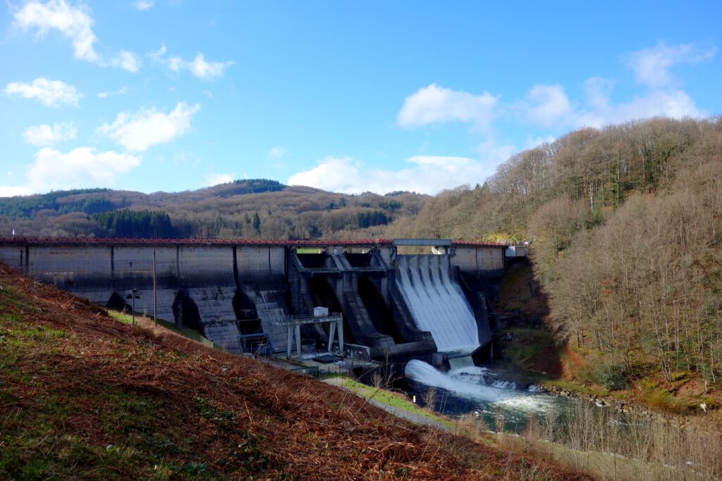
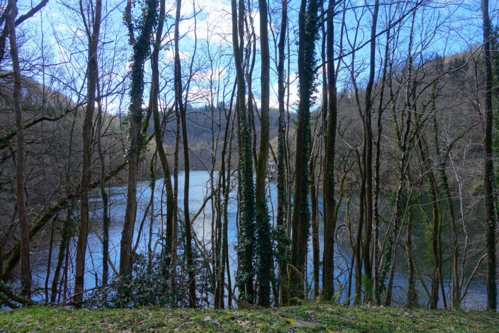
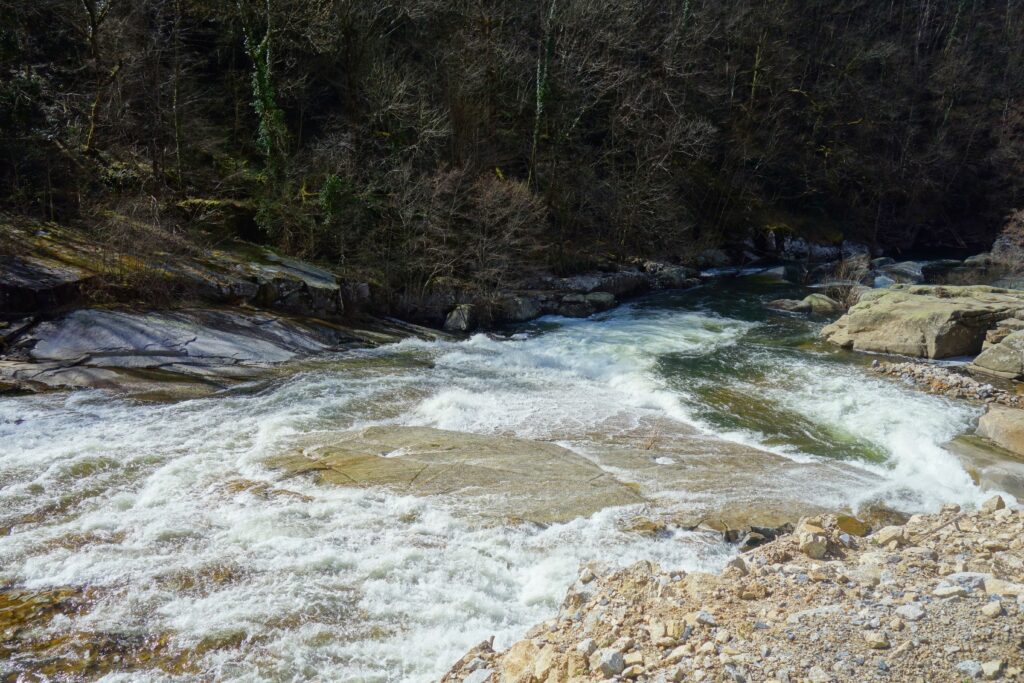
La rivière Agout est bien plus impressionnante là que plus en amont vers Giroussens ou sa confluence avec le Tarn à Saint-Sulpice-la-Pointe.
Son bassin versant est fortement vallonné, alternant montagnes, plateaux et gorges, ce qui a favorisé la création de barrages et lacs artificiels pour la régulation et l’usage hydroélectrique ou récréatif avec le Lac de La Raviège. Plus haut le Laouzas alimente la Vèbre qui rejoint l’Agout à La Salvetat.
D’ailleurs Mont Roucous ou La Salvetat sont des eaux captées dans ce coin et distribuées, Mont-Roucous réputée pour sa faible minéralisation, La Salvetat pour sa pétillance naturelle, et aussi sa minéralisation équilibrée.
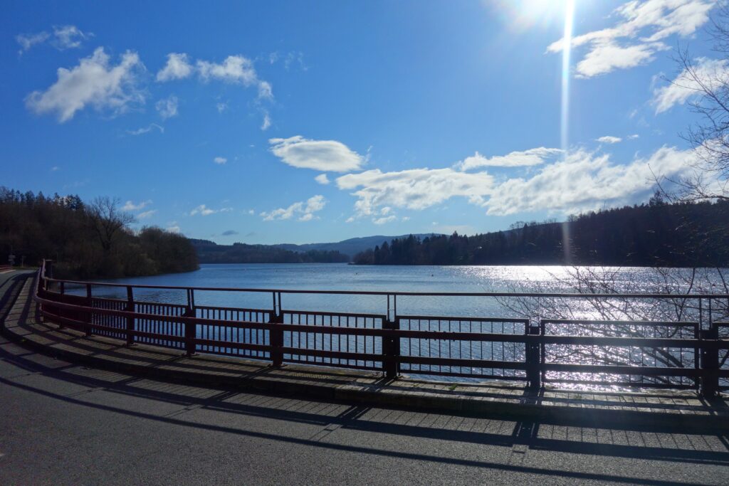
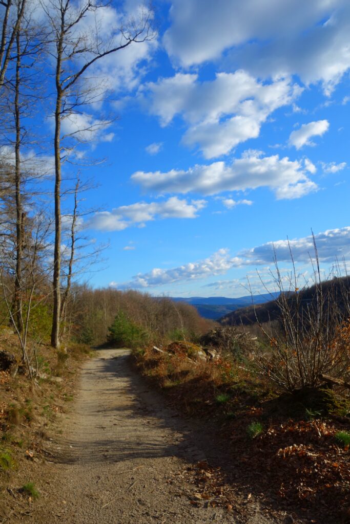
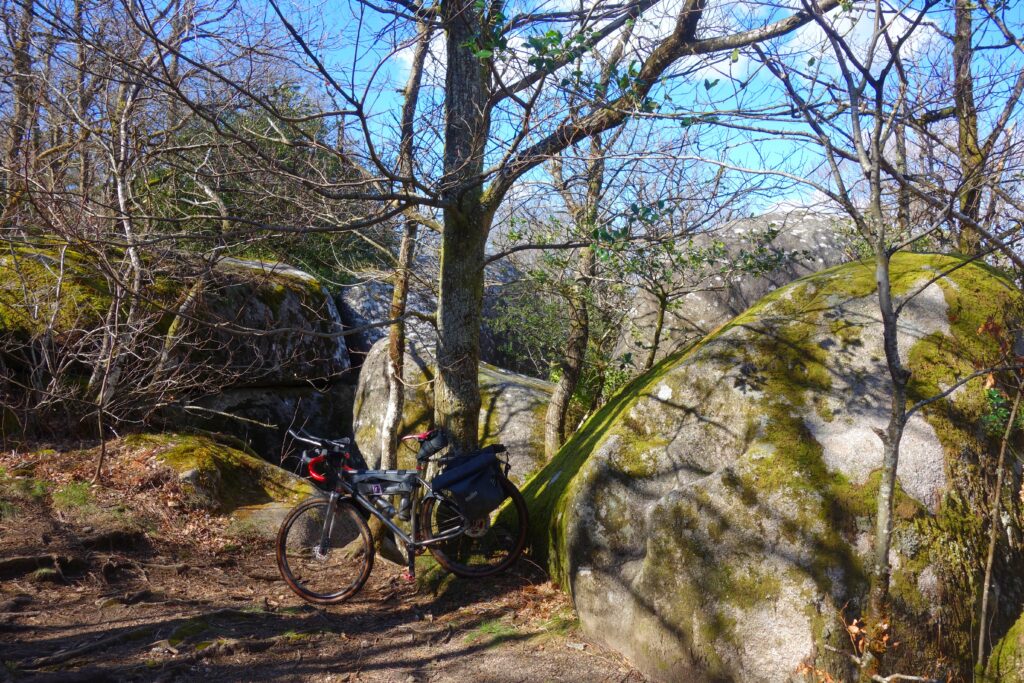
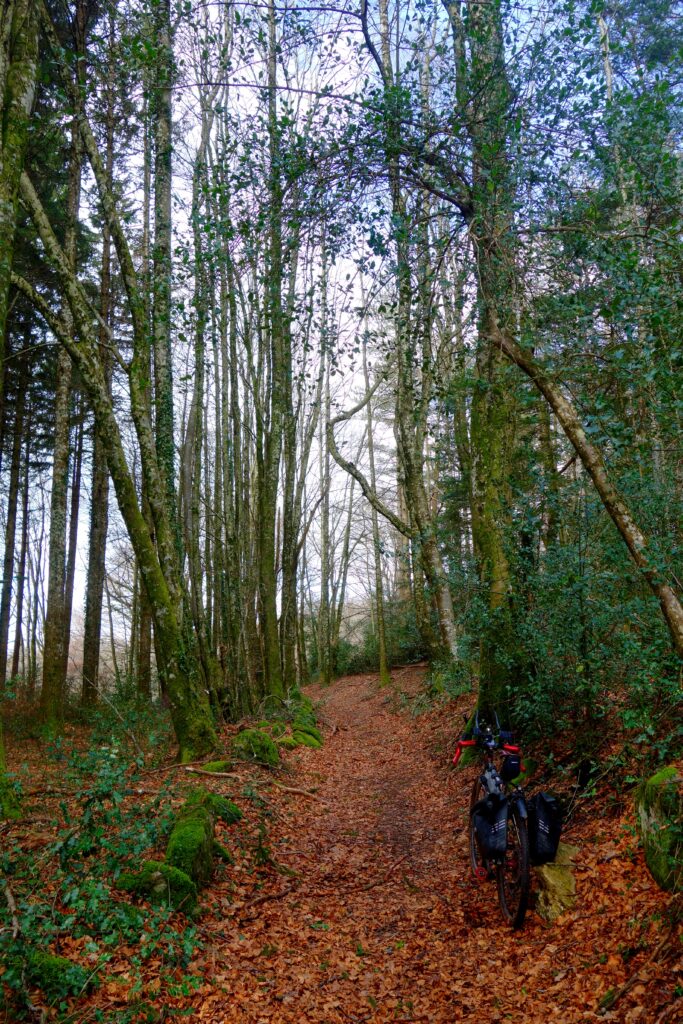
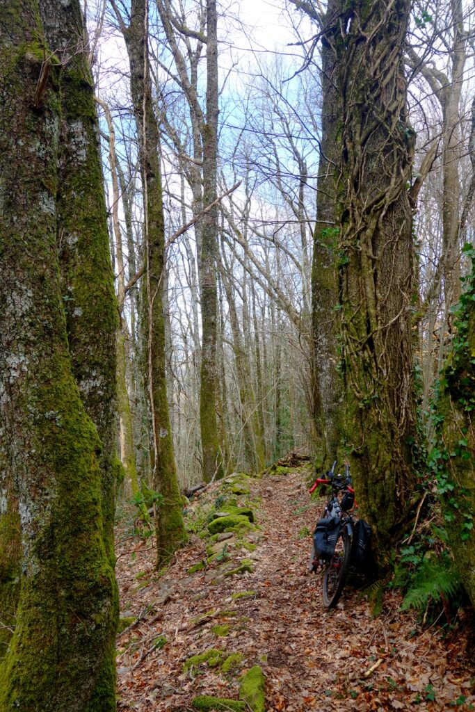
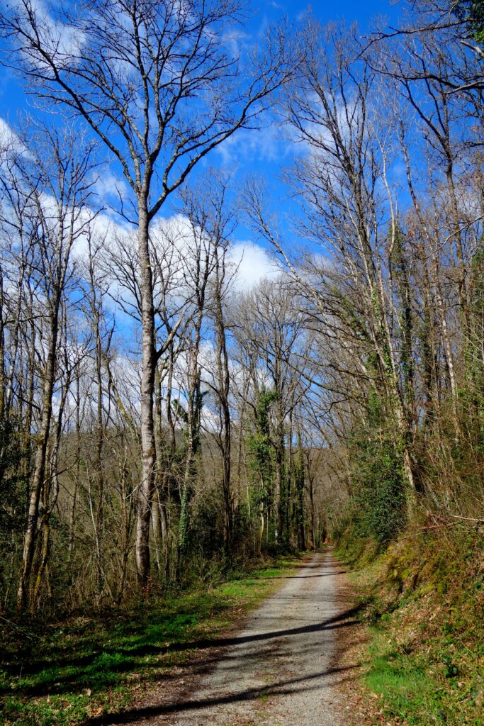
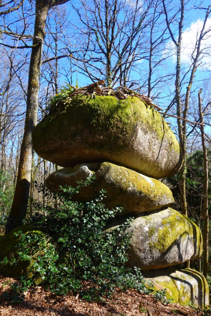
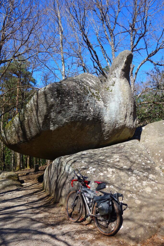
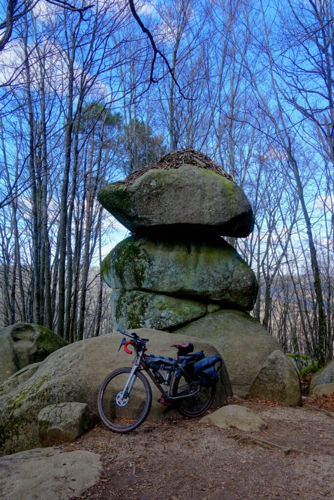
Départ de Brassac pour rejoindre le Lac de La Raviège par la route et suivre ensuite le GRP Hautes Terres d’Oc pour revenir à Brassac, suivre la jolie voie verte le long de l’Agout vers Bouissas mais le détour par les Rochers du Sidobre était indispensable, j’ai donc repris de la hauteur pour rejoindre ce joli massif granitique. Son paysage est marqué par d’impressionnants chaos de blocs, des rochers aux formes singulières (le Roc de l’Oie, les Trois Fromages sont parmi les plus connues du Sentier des Merveilles) et de vastes dalles nées de l’altération du granite. Cette roche plutonique, mise en place en profondeur puis dégagée par l’érosion, constitue l’identité géologique du site. Le Sidobre est aussi un territoire économique majeur : depuis le XIXème siècle, l’extraction et la transformation du granite y structurent l’activité locale. La pierre du Sidobre est utilisée pour le bâtiment, la voirie, le funéraire, l’ornement et l’aménagement urbain, faisant du massif l’un des principaux bassins français du granite.
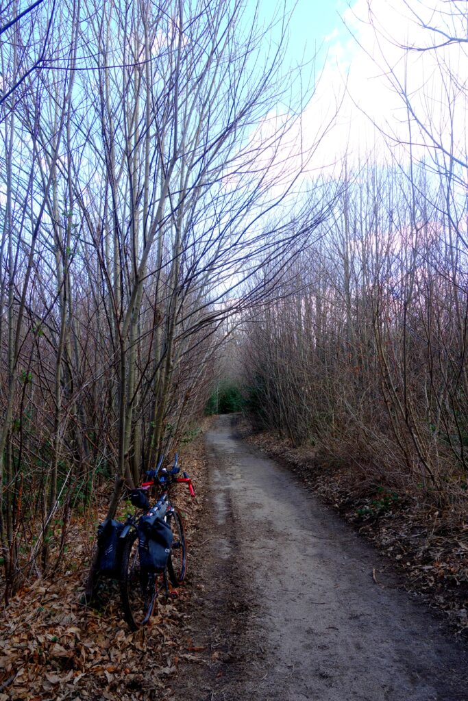
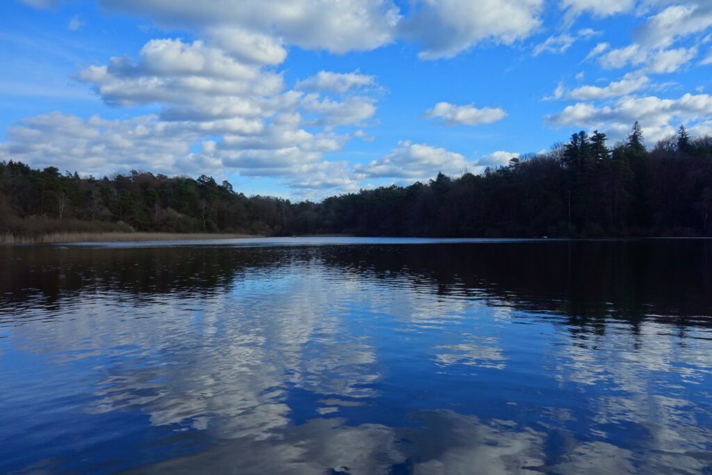
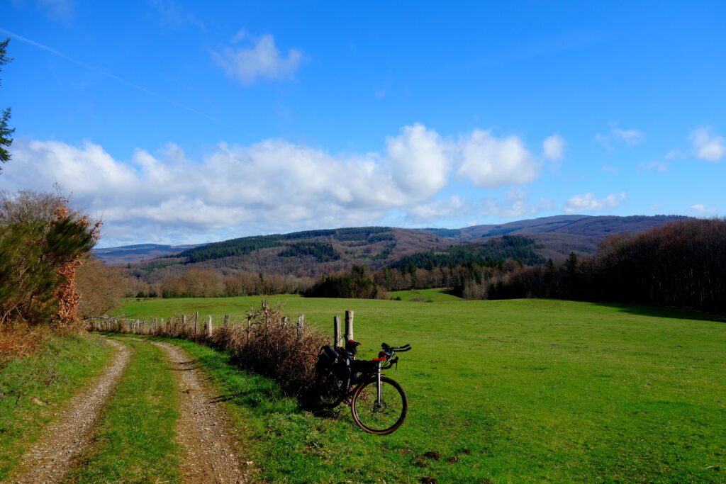
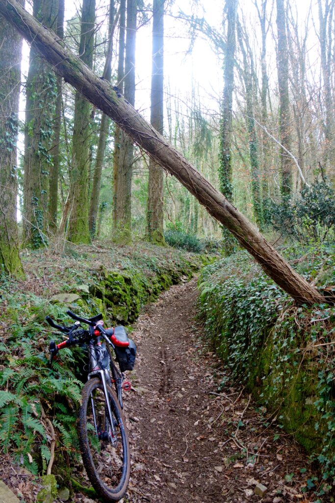
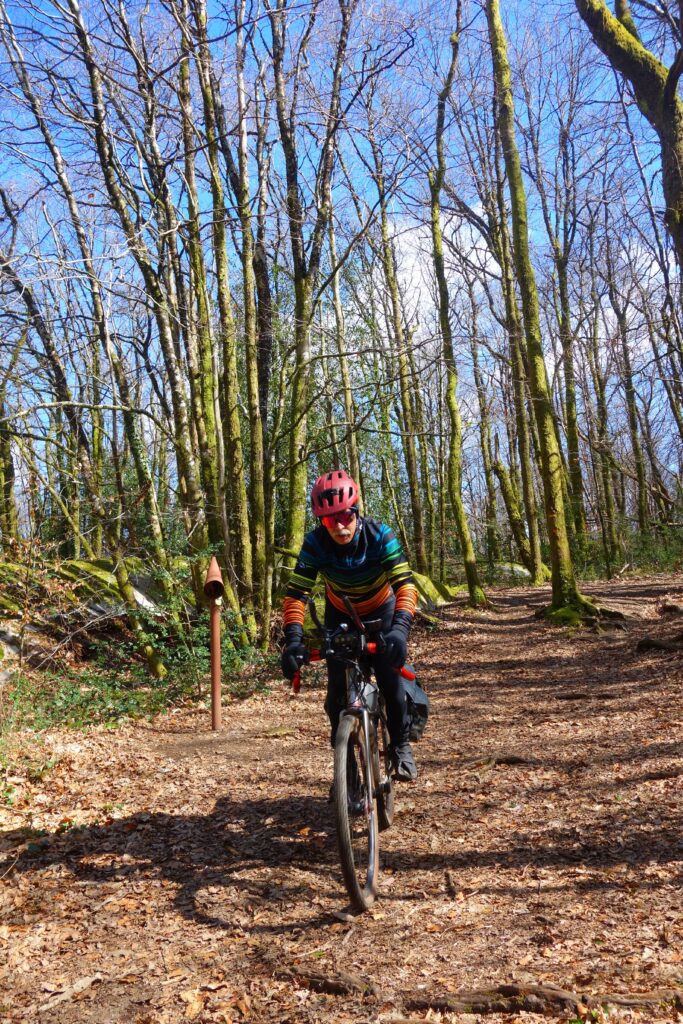
De Lacrouzette je suis reparti vers Brassac, d’abord par la route, c’est là que j’ai eu affaire à mon deuxième abruti automobiliste du week-end qui m’a doublé en me frôlant alors que ça passait large. J’ai récupéré le GR 36 / GRP Hautes Terres d’Oc pour passer au joli Lac du Merle.
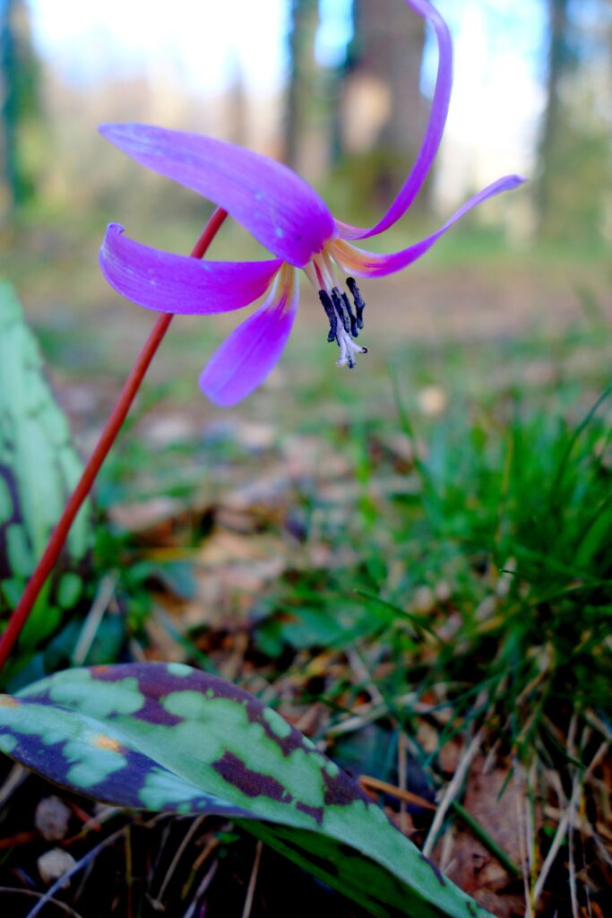
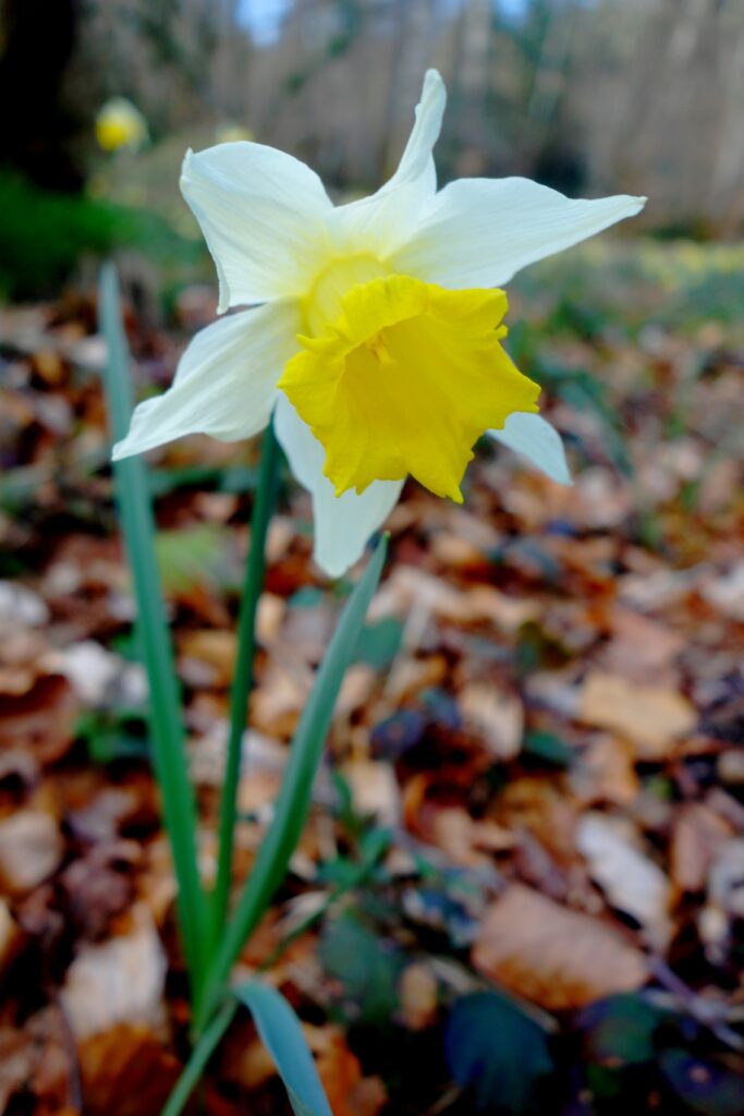
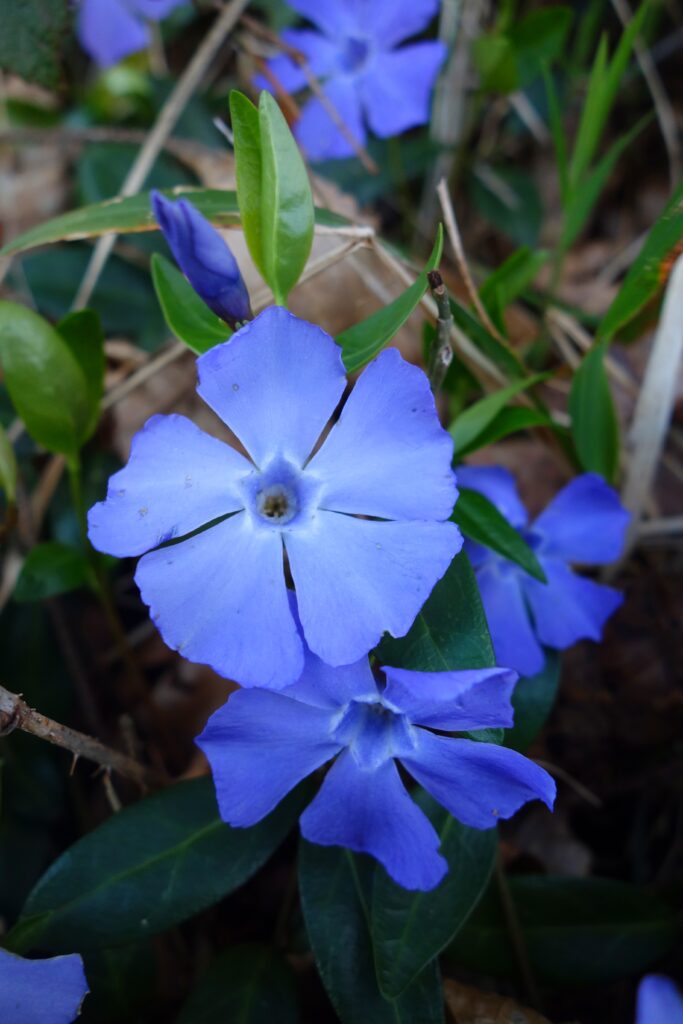
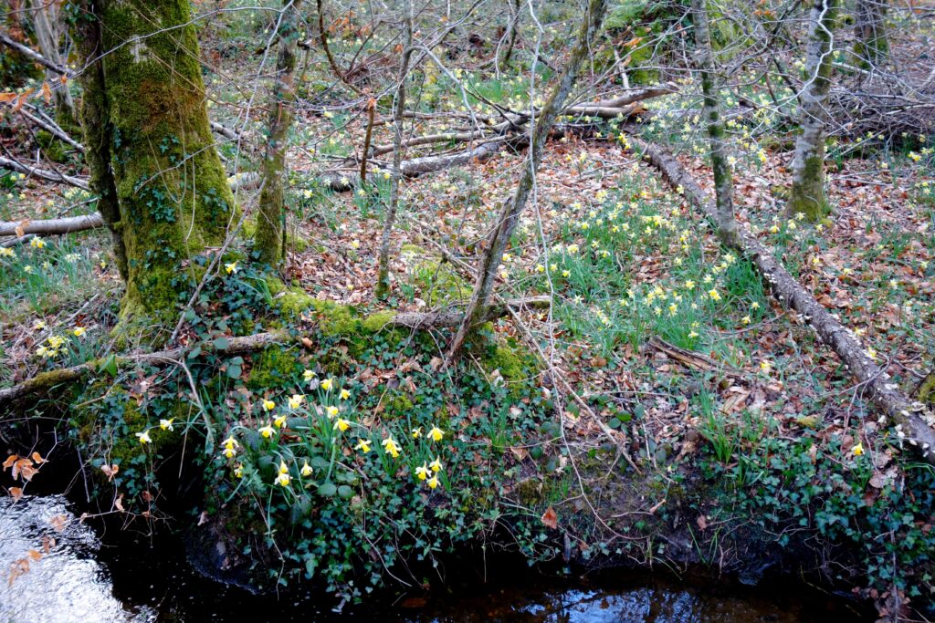
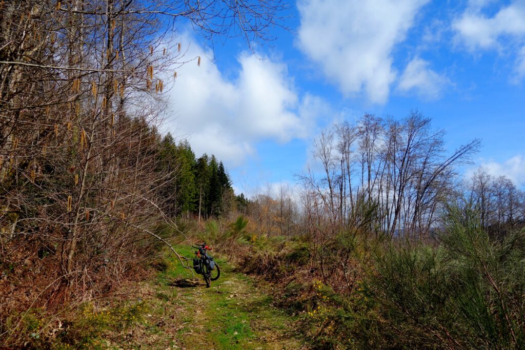
J’ai ensuite traversé quelques sagnes (du gaulois « sagna », « marécages, marais, marigots ou lieu humide ») tapissées de fleurs : Jonquille, Petite Pervenche, Érythrone dent-de-chien, éphémère de printemps (il arrive) qui fleurit quelques semaines avant que les arbres aient leurs feuilles et disparaît jusqu’à l’année suivante …
Erreur grossière de lecture de carte au Vialavert pour éviter la D622 très passante, je m’engage sur le GR pensant que ça ne descendait pas trop, gros mur en bas pour revenir sur les hauteurs, je reste sur la route et prend la D30 puis la D93 pour retourner à Brassac.
Dernières vérifications le week-end prochain du côté d’Arfons, là aussi pour vérifier l’état des chemins et pistes après les tempêtes … La trace de l’Occitanie sera alors prête après un dernier travail sur les cartes, ce ne sera pas une trace au rabais, l’idée de faire passer les participants par la Passa Païs pour ce qui va suivre est finalement plus intéressante que de traverser comme je le voulais d’abord la Montagne Noire sur toute sa longueur et rallier Saint-Chinian, jolie liaison amenant au Canal du Midi, joli mais moins intéressant pour le tracé.
Thierry
La trace / The track : https://www.visugpx.com/OUMX03pn2z
Final checks, Occitanie 600 2026 – Also in french
A night in the car, the mattress sagging even though I’d put two blankets underneath it – I’ll show him when I’m out on my bike rides…
The River Agout is far more impressive here than further upstream towards Giroussens or where it joins the Tarn at Saint-Sulpice-la-Pointe.
Its catchment area is heavily undulating, alternating between mountains, plateaus and gorges, which has encouraged the creation of dams and artificial lakes for regulation and hydroelectric or recreational use, such as Lac de La Raviège. Further upstream, the Laouzas feeds the Vèbre, which joins the Agout at La Salvetat.
In fact, Mont Roucous and La Salvetat are waters sourced in this area and distributed: Mont-Roucous is renowned for its low mineral content, whilst La Salvetat is known for its natural fizz and balanced mineral content.
Setting off from Brassac to reach Lac de La Raviège by road, then following the GRP Hautes Terres d’Oc trail back to Brassac; I followed the lovely greenway along the Agout towards Bouissas, but a detour via the Rochers du Sidobre was a must, so I climbed back up to reach this beautiful granite massif. Its landscape is characterised by impressive boulder fields, rocks with unique shapes (the Roc de l’Oie and the Trois Fromages are among the best known on the Sentier des Merveilles) and vast slabs formed by the weathering of granite. This plutonic rock, formed deep underground and then exposed by erosion, defines the site’s geological identity. Sidobre is also a major economic region: since the 19th century, the extraction and processing of granite have shaped local activity. Sidobre stone is used in construction, roadworks, funerary art, ornamentation and urban development, making the massif one of France’s principal granite-producing regions.
From Lacrouzette I set off again towards Brassac, initially by road; it was there that I encountered my second idiot driver of the weekend, who overtook me, grazing me, even though there was plenty of room. I rejoined the GR 36 / GRP Hautes Terres d’Oc to pass by the pretty Lac du Merle.
I then walked through a few marshes (from the Gaulish ‘sagna’, meaning ‘swamps, marshes, backwaters or damp places’) carpeted with flowers: Daffodils, lesser periwinkle, dog’s-tooth violet, spring snowflake (occasionally) which blooms a few weeks before the trees have their leaves and disappears until the following year …
A major map-reading error at Vialavert whilst trying to avoid the very busy D622; I set off on the GR thinking it wouldn’t go downhill too much, but there was a steep drop at the bottom to get back up to the heights, so I stayed on the road and took the D30 then the D93 to return to Brassac.
Final checks next weekend around Arfons, again to check the condition of the paths and tracks after the storms… The Occitanie route will then be ready after some final work on the maps; it won’t be a cut-price route. The idea of taking participants via the Passa Païs for what follows is ultimately more interesting than crossing the Montagne Noire in its entirety, as I’d originally intended, and heading to Saint-Chinian – a lovely link leading to the Canal du Midi, but less interesting for the route itself.
Translated with DeepL.com (free version)